
Lake levels 2025
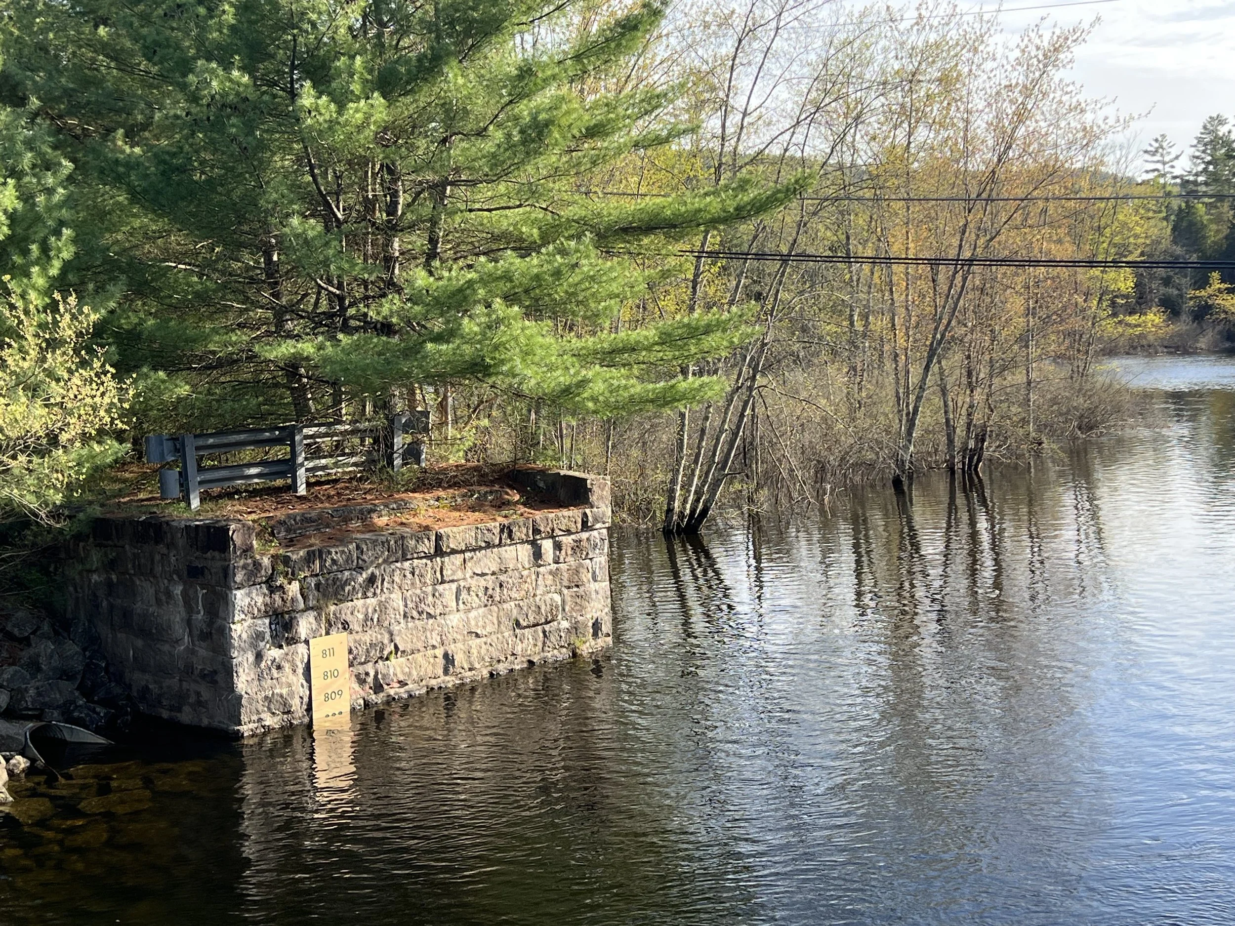
Glendale Bridge / May 13, 2025
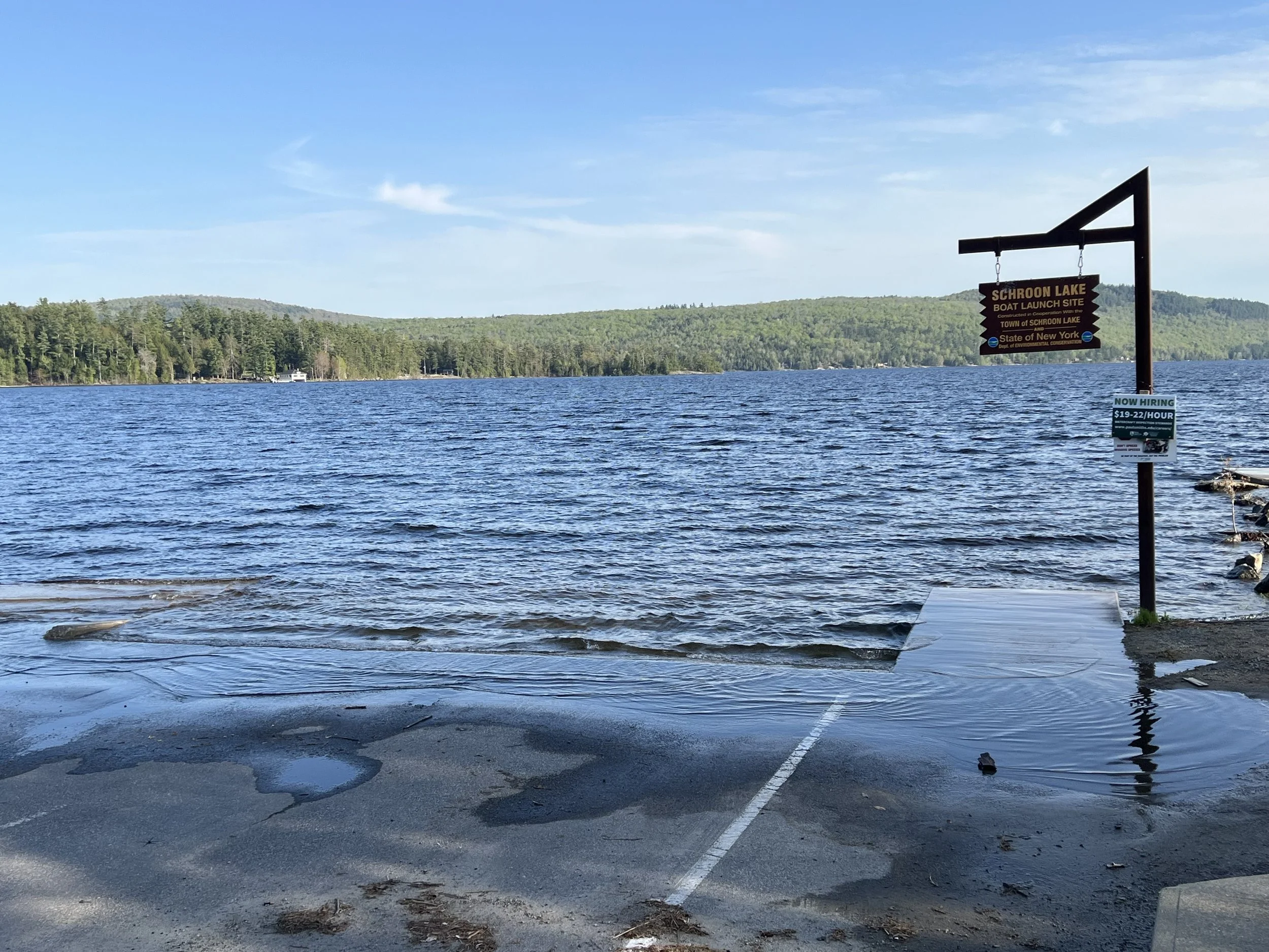
Town Launch / May 13, 2025
August 2025 / The drought begins.
Board member Neil Chippendale kept us up to date on lake levels this year. Track Neil’s notes on Schroon Lake below.
March 21.
The Schroon River was 6 feet above normal levels at the Schroon River at Riverbank measurement site in Warrensburg. This site is operated by the National Water Prediction Service. Full flood level is considered 10 feet and above. 6 feet above normal is considered an action level which means we need to be watchful for rising water.
It is not unusual to have high water on the Schroon in the Spring. Spring rain runoff, melting snow pack, man made obstructions such as bridges and overpasses, and downed trees in the river can add to the higher water levels. The Starbuckville Dam does not add to the flood threat. The new dam, now in its twentieth year can handle flows above the 100 year flood mark. All the swamp areas above and below the lake are flooded. These swamps help absorb the higher flows as does Paradox Lake, although the water is currently slack at the Paradox Lake Dam with little flow either way.
The Water Service predicts that levels will fall below the six-foot level in the coming days and the flood threat is receding. Normal for spring.
March 27.
Water levels on the Schroon River are down about a foot as the watershed drains from the recent rains and below the flood action level. Levels should remain about the same through the rain this weekend and then begin to drop again going forward.
March 31.
Lake levels will rise over the next couple of dates, peaking on April 3rd, just below the action level. No floods.
April 3
The Schroon River is on the rise again and will continue through Sunday April 6th, just below official flood stage. Unfortunately, we are expecting more rain over the next weekend which could continue the rising levels. We can expect that all the wetlands and Alder Meadow road will flood over the coming days.
Lake levels went over the action level this weekend, which is a warning level. There was some flooding on Alder Meadow Road but the rain over the weekend did not add much to the watershed. Levels will fall below action levels today and continue to recede this week. There is significant rain expected next weekend so levels will most likely rise again. Typical spring season. Wetlands are important to absorb the ebb and flow of water levels. They are the first to flood and the last to drain. This is why it is important to protect our wetlands which help to reduce flow and velocity and help reduce erosion. Tree and ground cover are also important to absorb excess water. Our wooded watershed normally absorbs about 80% of the rain fall. Frozen ground and snow cover can increase dangerous runoff, but we are past that point now.
The following summary of the value of wetlands is from the National Park Service website:
In the not-too-distant past, wetlands were regarded as wastelands. Most people felt that they were places to be avoided, and it was common practice to drain them, fill them or treat them as dumping grounds. A study published by the U.S. Fish and Wildlife Service in 1990 revealed a startling fact: more than half of the 221 million acres of wetlands that existed in the lower 48 states in the late 1700s have been destroyed.
Today, we know that wetlands provide many important services to the environment and to the public. They offer critical habitat for fish, waterfowl and other wildlife, they purify polluted waters, and they help check the destructive power of floods and storms. They also provide a wide variety of recreational opportunities such as fishing, hunting, photography, and wildlife observation. As these and many other wetland functions and values have become more widely known, wetlands are increasingly seen as productive and valuable resources worthy of protection and restoration.
April 16.
The lake level has dropped two feet so far this week and should continue to drop until we get more rain on Saturday. Lake height at the boathouse is about 810’. Four feet above the summer normal of 806’.
May 13.
The Dam is at 806' above sea level, the Glendale bridge was at 808' and the boathouse launch ram is about 810'. Just proves that water flows downhill.
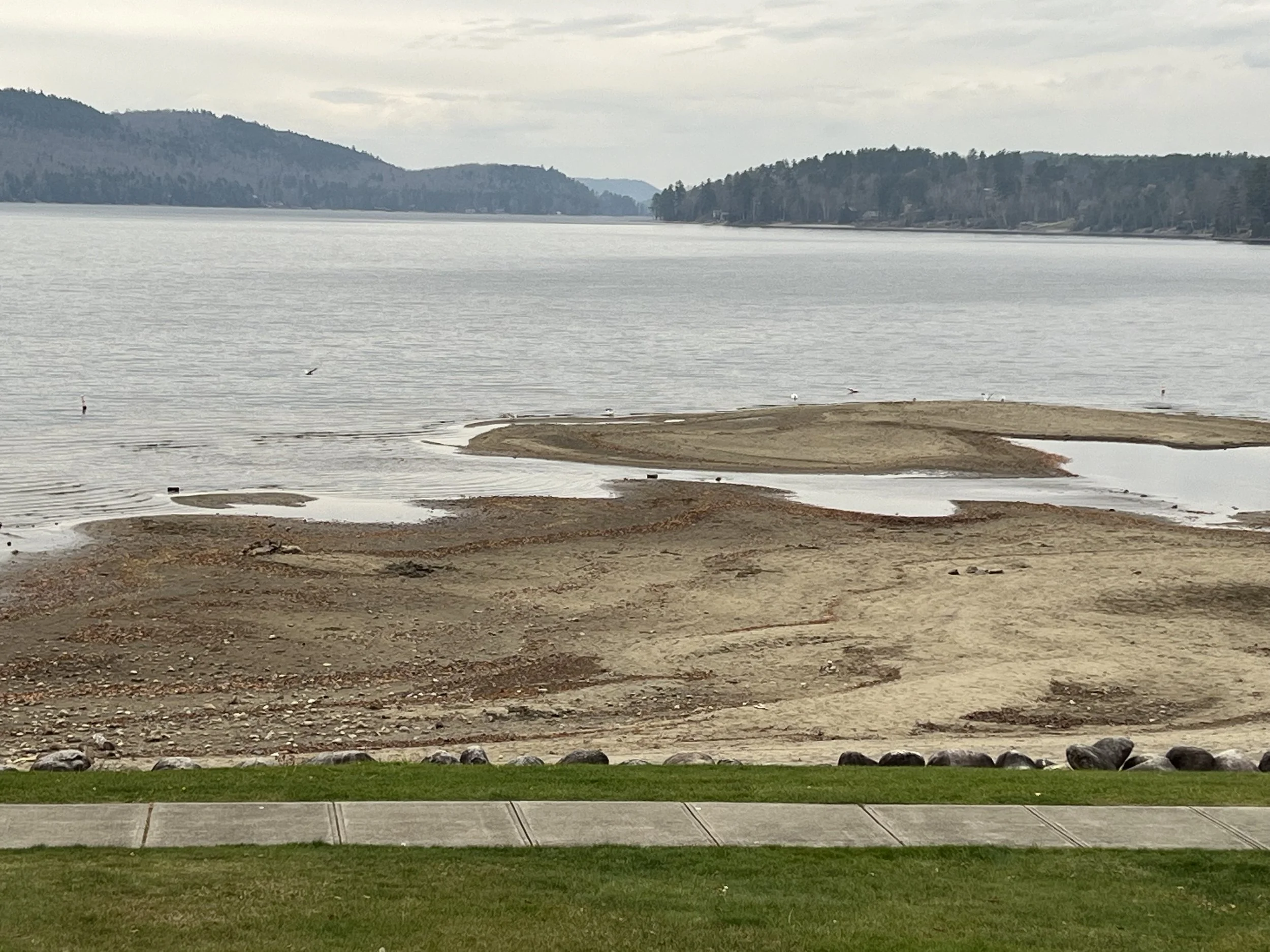
June - October.
The dam gates remained closed all summer due to the lack of rainfall but had little effect on lake levels. At best the dam maintained some water in the river south of the lake for the four miles north of the dam. Only very shallow draft boats could navigate all the way to the lake. The DEC dam schedule calls for the gates to be opened on October 15 to maintain flow in the river all winter. The Park Board decided to only partially open the gates at this time to try to maintain water levels but will have to be fully opened before freezing weather. Water levels are low throughout the NorthEast. Lake Champlain is at its lowest level since the 1940’s. We are hoping for good snowfall this winter and normal rainfall next spring.